Geospatial intelligence
See the territory.
Decide with clarity.
Geospatial consulting for energy, infrastructure and climate decisions. Connecting territorial evidence with your business vision.
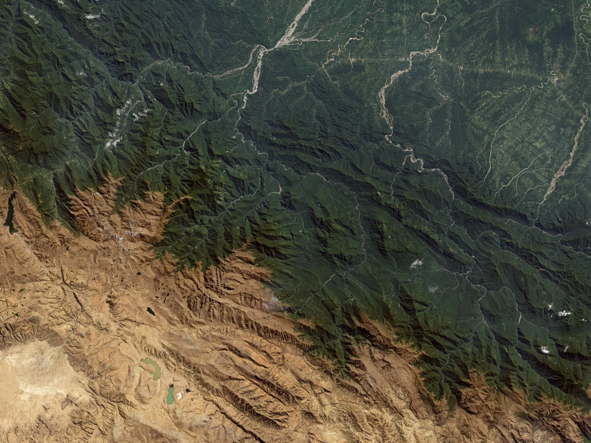
Let's talkSatellite imagery · NASA Earth Observatory / Landsat / USGS
Our expertise
Strategic perspective. Technical depth.
Five service lines that integrate cutting-edge technology with business vision.
Let's explore your challenge- 01
Specialized Geospatial Consulting
Critical infrastructure analysis, power transmission route design, asset monitoring, and operational risk management based on satellite data and remote sensing.
- 02
AI Design & Implementation
Computer vision solutions, predictive models, and intelligent agents for geoprocessing, automated inspection, and real-time decision making.
- 03
Carbon Credits & Climate
Structuring, modeling, and digital monitoring (dMRV) of REDD+ and renewable energy projects, with satellite traceability for verification and certification.
- 04
Energy & Power Transmission
Risk analysis, digital twins, corridor planning, and unified data systems for power distribution and transmission.
- 05
Digital Transformation on Spatial Data
TOGAF architecture, geospatial cloud platforms, and dashboards that turn complex data into actionable intelligence.
Approach
How we work
We turn satellite imagery into decisions for critical infrastructure — with evidence, with its capture date, and honestly stating what still needs to be measured in the field.
- 01
Clear and technical
Precision without embellishment: the value of every analysis fits in one sentence, in the boardroom and in the field.
- 02
Honest about scope
Every data point carries its capture date and confidence level. We state clearly what still needs field measurement.
- 03
In service of the decision
We support our client's decision with traceable evidence, from satellite image to dashboard.
Frequently asked questions
What we usually get asked
What is geospatial intelligence and what is it for?
It is the discipline that turns satellite data, remote sensing, and territorial information into actionable analysis: where to invest, which risk to monitor, and how to prioritize a field intervention.
Which sectors does ASTRO Labmap work in?
Mainly energy and power transmission, carbon and climate projects, and critical infrastructure. We also support digital transformation processes built on spatial data in public and private organizations.
What is digital dMRV monitoring?
dMRV (digital Measurement, Reporting and Verification) is the digital monitoring of climate projects — such as REDD+ or renewable energy — with satellite traceability to support their verification and certification.
How do we start a project together?
With a conversation. We listen to the challenge, assess what data exists, and propose a clear scope: what can be answered with reference satellite data and what requires field measurement.